Heasandford
Introduction
The photograph on this page of Heasandford by Kevin Rushton as part of the Geograph project.
The Geograph project started in 2005 with the aim of publishing, organising and preserving representative images for every square kilometre of Great Britain, Ireland and the Isle of Man.

There are currently over 7.5m images from over 14,400 individuals and you can help contribute to the project by visiting https://www.geograph.org.uk
Heasandford
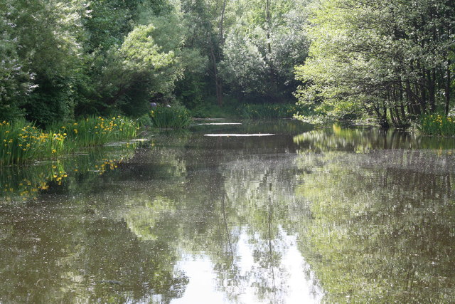
Image: © Kevin Rushton Taken: 12 Jun 2006
The fishing pond was built as a reservoir for the Witham's old mill and the mill itself stood close to the bridge on Queen Victoria Road
Images are licensed for reuse under creativecommons.org/licenses/by-sa/2.0
Image Location


Leaflet Map data © OpenStreetMap
Latitude
53.796707
Longitude
-2.218574