Wick Lane, Liden, Swindon (2)
Introduction
The photograph on this page of Wick Lane, Liden, Swindon (2) by Brian Robert Marshall as part of the Geograph project.
The Geograph project started in 2005 with the aim of publishing, organising and preserving representative images for every square kilometre of Great Britain, Ireland and the Isle of Man.

There are currently over 7.5m images from over 14,400 individuals and you can help contribute to the project by visiting https://www.geograph.org.uk
Wick Lane, Liden, Swindon (2)
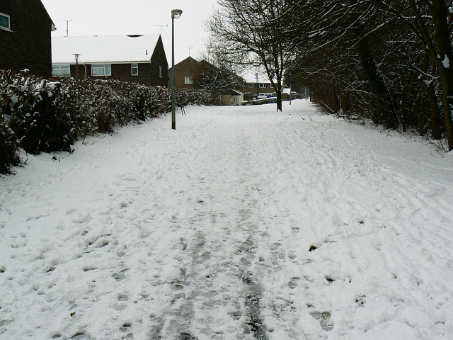
Image: © Brian Robert Marshall Taken: 5 Feb 2009
Until the late 1960s Wick Lane was a minor road between the Marlborough Road and Ermin Street (or Ermin Way). At that time the area was taken over by Swindon Borough Council for the next phase in its expansion called the South Dorcan Extension. the extension was developed over the following 15 years or so. At the same time Wick Lane became redundant as a highway with the building of the A419 dual carriageway and is now a footpath and cycleway through housing on the eastern side of the developed area. This is a view looking south.
Images are licensed for reuse under creativecommons.org/licenses/by-sa/2.0
Image Location
Latitude
51.544403
Longitude
-1.724526