Farmland near Garshall House
Introduction
The photograph on this page of Farmland near Garshall House by Simon Huguet as part of the Geograph project.
The Geograph project started in 2005 with the aim of publishing, organising and preserving representative images for every square kilometre of Great Britain, Ireland and the Isle of Man.

There are currently over 7.5m images from over 14,400 individuals and you can help contribute to the project by visiting https://www.geograph.org.uk
Farmland near Garshall House
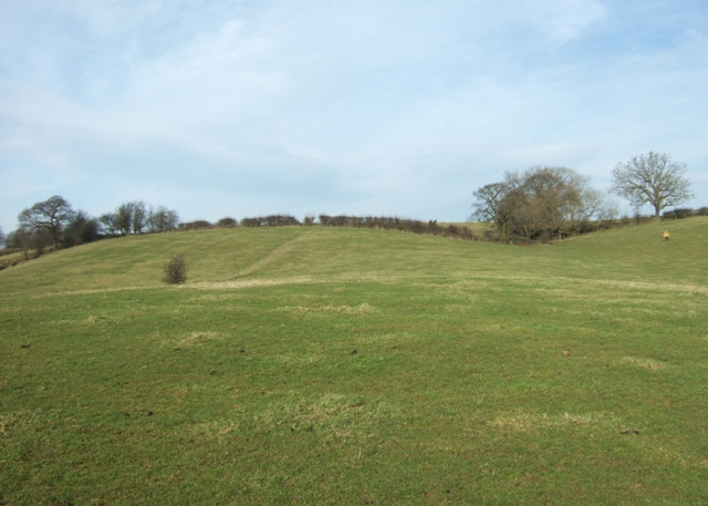
Image: © Simon Huguet Taken: 31 Jan 2009
The footpath crosses a rolling valley that in places in the bottom lies very wet in winter.
Images are licensed for reuse under creativecommons.org/licenses/by-sa/2.0
Image Location
Latitude
52.902075
Longitude
-2.056898