Mill Lane
Introduction
The photograph on this page of Mill Lane by Simon Carey as part of the Geograph project.
The Geograph project started in 2005 with the aim of publishing, organising and preserving representative images for every square kilometre of Great Britain, Ireland and the Isle of Man.

There are currently over 7.5m images from over 14,400 individuals and you can help contribute to the project by visiting https://www.geograph.org.uk
Mill Lane
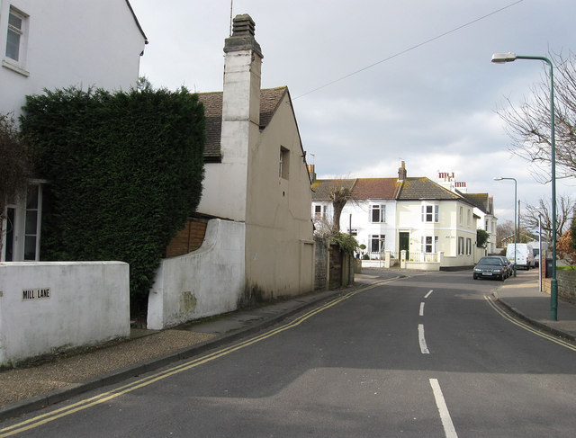
Image: © Simon Carey Taken: 1 Feb 2009
Linking Buckingham Road with Upper Shoreham Road and built along the former country lane that lead to the windmill on Mill Hill. The junction with Queens Place can be seen in the distance.
Images are licensed for reuse under creativecommons.org/licenses/by-sa/2.0
Image Location
Latitude
50.836424
Longitude
-0.273067