Lochlibo Valley
Introduction
The photograph on this page of Lochlibo Valley by wfmillar as part of the Geograph project.
The Geograph project started in 2005 with the aim of publishing, organising and preserving representative images for every square kilometre of Great Britain, Ireland and the Isle of Man.

There are currently over 7.5m images from over 14,400 individuals and you can help contribute to the project by visiting https://www.geograph.org.uk
Lochlibo Valley
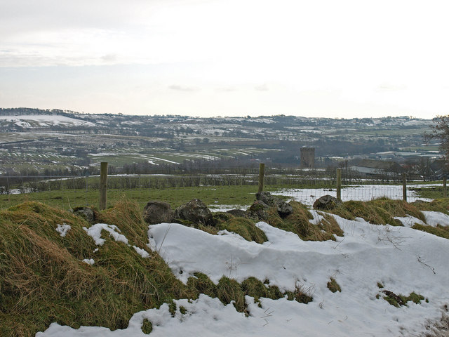
Image: © wfmillar Taken: 4 Feb 2009
Looking over Calwell Tower and Old Barn farm. The large garden centre can just be spotted to the right of the tower
Images are licensed for reuse under creativecommons.org/licenses/by-sa/2.0
Image Location
Latitude
55.763898
Longitude
-4.515993