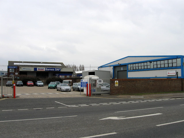
Edwards, Brighton Road
Introduction
The photograph on this page of Edwards, Brighton Road by Simon Carey as part of the Geograph project.
The Geograph project started in 2005 with the aim of publishing, organising and preserving representative images for every square kilometre of Great Britain, Ireland and the Isle of Man.
There are currently over 7.5m images from over 14,400 individuals and you can help contribute to the project by visiting https://www.geograph.org.uk

Image: © Simon Carey Taken: 1 Feb 2009
Formerly BOC Edwards now an independent entity. A bit of an optical illusion here as the far building, Barnes DAF, cannot be accessed from Brighton Road as it is separated by the railway line. Furthermore, it was roughly at this point that the former sidings that served Kingston Wharf left the line then descended at 1 in 82 gradient underneath a bridge that carried the A259 over the track. Built in the 1840s, redesigned in 1938 they were pulled up in 1968 and everything demolished soon after.

