Cinderhill Drive
Introduction
The photograph on this page of Cinderhill Drive by Alan Murray-Rust as part of the Geograph project.
The Geograph project started in 2005 with the aim of publishing, organising and preserving representative images for every square kilometre of Great Britain, Ireland and the Isle of Man.

There are currently over 7.5m images from over 14,400 individuals and you can help contribute to the project by visiting https://www.geograph.org.uk
Cinderhill Drive
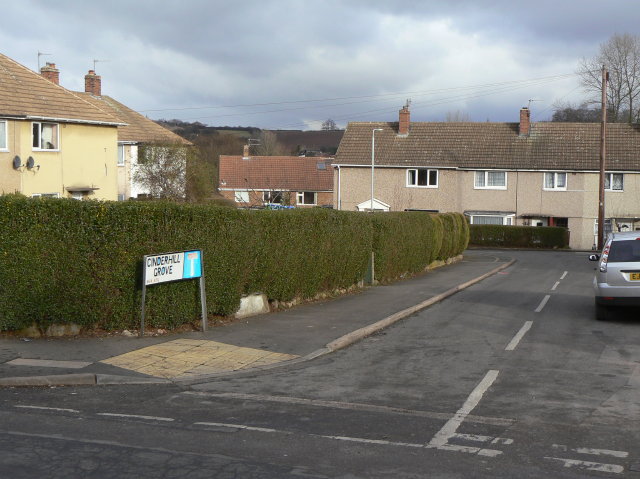
Image: © Alan Murray-Rust Taken: 1 Feb 2009
"One of several roads in the area named after collieries in Nottinghamshire. The development was essentially a pit village for the neighbouring Gedling Colliery, although it abutted existing residential areas. Cinderhill was an alternative name for Babbington Colliery which was in SK5343 on the site now occupied by Phoenix Park ."
Images are licensed for reuse under creativecommons.org/licenses/by-sa/2.0
Image Location
Latitude
52.980309
Longitude
-1.088459