Poolbrook flood meadow
Introduction
The photograph on this page of Poolbrook flood meadow by Bob Embleton as part of the Geograph project.
The Geograph project started in 2005 with the aim of publishing, organising and preserving representative images for every square kilometre of Great Britain, Ireland and the Isle of Man.

There are currently over 7.5m images from over 14,400 individuals and you can help contribute to the project by visiting https://www.geograph.org.uk
Poolbrook flood meadow
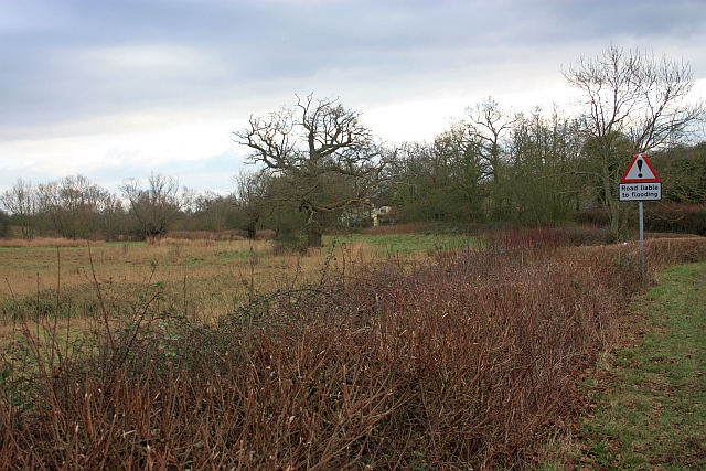
Image: © Bob Embleton Taken: 1 Feb 2009
The building in the distance is called Little Mill Cottage though there doesn't appear to be anywhere for a leet to keep the water high enough to make a mill operable. The parish boundary follows the depression on this side of the meadow then switches to the current stream on the other side. This area is one of the first to go under water when the River Severn floods.
Images are licensed for reuse under creativecommons.org/licenses/by-sa/2.0
Image Location


Leaflet Map data © OpenStreetMap
Latitude
52.067316
Longitude
-2.235113