Sheep grazing on Ash Level
Introduction
The photograph on this page of Sheep grazing on Ash Level by Nick Smith as part of the Geograph project.
The Geograph project started in 2005 with the aim of publishing, organising and preserving representative images for every square kilometre of Great Britain, Ireland and the Isle of Man.

There are currently over 7.5m images from over 14,400 individuals and you can help contribute to the project by visiting https://www.geograph.org.uk
Sheep grazing on Ash Level
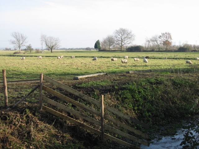
Image: © Nick Smith Taken: 31 Jan 2009
Ash Level is a low-lying area of the Stour Valley, drained by a network of ditches.
Images are licensed for reuse under creativecommons.org/licenses/by-sa/2.0
Image Location
Latitude
51.30417
Longitude
1.290988