Field alongside Arnold Lane
Introduction
The photograph on this page of Field alongside Arnold Lane by Alan Murray-Rust as part of the Geograph project.
The Geograph project started in 2005 with the aim of publishing, organising and preserving representative images for every square kilometre of Great Britain, Ireland and the Isle of Man.

There are currently over 7.5m images from over 14,400 individuals and you can help contribute to the project by visiting https://www.geograph.org.uk
Field alongside Arnold Lane
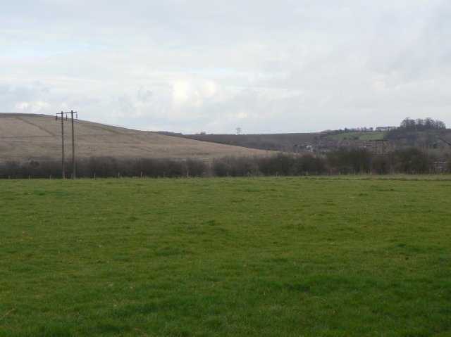
Image: © Alan Murray-Rust Taken: 1 Feb 2009
The prominent hill to the left is the spoil heap of the former Gedling Colliery which lay behind the hedge to the right hand side of the picture.
Images are licensed for reuse under creativecommons.org/licenses/by-sa/2.0
Image Location
Latitude
52.986009
Longitude
-1.093255