Mapperley Plains
Introduction
The photograph on this page of Mapperley Plains by Alan Murray-Rust as part of the Geograph project.
The Geograph project started in 2005 with the aim of publishing, organising and preserving representative images for every square kilometre of Great Britain, Ireland and the Isle of Man.

There are currently over 7.5m images from over 14,400 individuals and you can help contribute to the project by visiting https://www.geograph.org.uk
Mapperley Plains
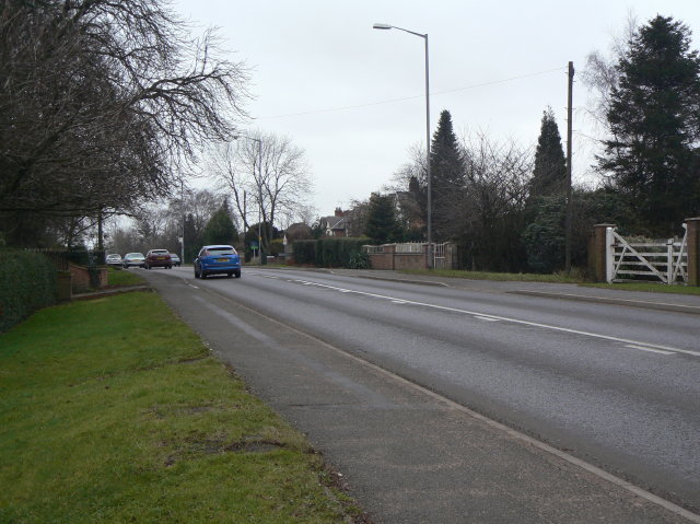
Image: © Alan Murray-Rust Taken: 1 Feb 2009
A ridge route leading from Nottingham to Woodborough and Calverton, with the development of housing to the east of Nottingham it is now a major exit towards the north.
Images are licensed for reuse under creativecommons.org/licenses/by-sa/2.0
Image Location
Latitude
52.995975
Longitude
-1.103476