The Tree Tops
Introduction
The photograph on this page of The Tree Tops by Alan Murray-Rust as part of the Geograph project.
The Geograph project started in 2005 with the aim of publishing, organising and preserving representative images for every square kilometre of Great Britain, Ireland and the Isle of Man.

There are currently over 7.5m images from over 14,400 individuals and you can help contribute to the project by visiting https://www.geograph.org.uk
The Tree Tops
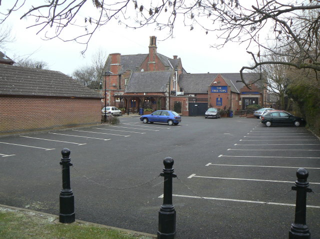
Image: © Alan Murray-Rust Taken: 1 Feb 2009
A large Victorian house on Mapperley Plains now converted into a pub/restaurant. The wing to the right of the building is a very recent addition
Images are licensed for reuse under creativecommons.org/licenses/by-sa/2.0
Image Location
Latitude
52.989934
Longitude
-1.113135