Retail warehouses at Sprucefield near Lisburn
Introduction
The photograph on this page of Retail warehouses at Sprucefield near Lisburn by Albert Bridge as part of the Geograph project.
The Geograph project started in 2005 with the aim of publishing, organising and preserving representative images for every square kilometre of Great Britain, Ireland and the Isle of Man.

There are currently over 7.5m images from over 14,400 individuals and you can help contribute to the project by visiting https://www.geograph.org.uk
Retail warehouses at Sprucefield near Lisburn
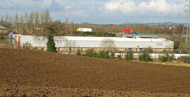
Image: © Albert Bridge Taken: 2 Feb 2009
See Image The retail sprawl at Sprucefield is spread over several squares. It includes Sainsbury’s, Marks and Spencer plus several others. This shows some of the several others at the limit of what is now known as “Greater Belfast”. Subject to planning permission, John Lewis might be joining them. The M1 is in the background.
Images are licensed for reuse under creativecommons.org/licenses/by-sa/2.0
Image Location
Latitude
54.490616
Longitude
-6.056782