Gateside, Kingswells
Introduction
The photograph on this page of Gateside, Kingswells by Lizzie as part of the Geograph project.
The Geograph project started in 2005 with the aim of publishing, organising and preserving representative images for every square kilometre of Great Britain, Ireland and the Isle of Man.

There are currently over 7.5m images from over 14,400 individuals and you can help contribute to the project by visiting https://www.geograph.org.uk
Gateside, Kingswells
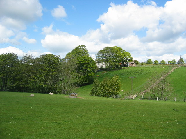
Image: © Lizzie Taken: 21 May 2005
House found just to the north of the Den Burn. Land used for sheep grazing.
Images are licensed for reuse under creativecommons.org/licenses/by-sa/2.0
Image Location


Leaflet Map data © OpenStreetMap
Latitude
57.14921
Longitude
-2.208226