The Wateringbury Pub/Restaurant
Introduction
The photograph on this page of The Wateringbury Pub/Restaurant by David Anstiss as part of the Geograph project.
The Geograph project started in 2005 with the aim of publishing, organising and preserving representative images for every square kilometre of Great Britain, Ireland and the Isle of Man.

There are currently over 7.5m images from over 14,400 individuals and you can help contribute to the project by visiting https://www.geograph.org.uk
The Wateringbury Pub/Restaurant
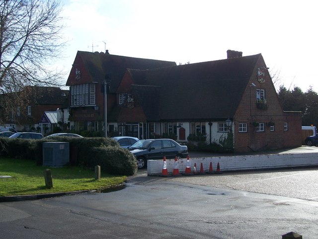
Image: © David Anstiss Taken: 26 Jan 2009
On A26 Tonbridge Road. Part of the Chef and Brewer Group. Has a Premier Inn Hotel beside it, seen on left of photo.
Images are licensed for reuse under creativecommons.org/licenses/by-sa/2.0
Image Location
Latitude
51.254726
Longitude
0.424592