Repaired bridleway
Introduction
The photograph on this page of Repaired bridleway by Dave Spicer as part of the Geograph project.
The Geograph project started in 2005 with the aim of publishing, organising and preserving representative images for every square kilometre of Great Britain, Ireland and the Isle of Man.

There are currently over 7.5m images from over 14,400 individuals and you can help contribute to the project by visiting https://www.geograph.org.uk
Repaired bridleway
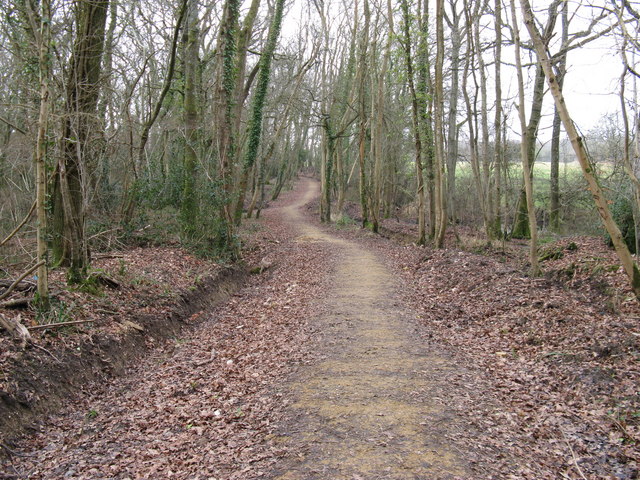
Image: © Dave Spicer Taken: 31 Jan 2009
The track is named Old Scotland Lane and the woods are called 'Scotland'. In 2020 a protest group are campaigning against the use of these ancient woods to be part of the new Arundel bypass.
Images are licensed for reuse under creativecommons.org/licenses/by-sa/2.0
Image Location
Latitude
50.852169
Longitude
-0.602792