End of The Ridings
Introduction
The photograph on this page of End of The Ridings by Martin Addison as part of the Geograph project.
The Geograph project started in 2005 with the aim of publishing, organising and preserving representative images for every square kilometre of Great Britain, Ireland and the Isle of Man.

There are currently over 7.5m images from over 14,400 individuals and you can help contribute to the project by visiting https://www.geograph.org.uk
End of The Ridings
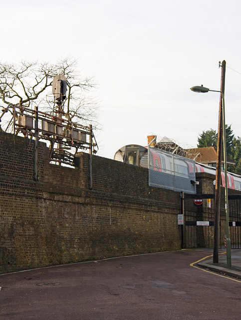
Image: © Martin Addison Taken: 30 Jan 2009
The Ridings is a very short cul-de-sac, coming to an abrupt halt where the Northern Line between Golders Green and Brent Cross station passes. The line is almost at the same level as the surrounding land here and the arches of the viaduct have given way to a solid wall. Note the leaning Telephone pole on the right. Having only a single cable results in a continuous pull in one direction and the pole leans as a result. You'd be surprised how much a small diameter length of wire weighs when it's up in the air!
Images are licensed for reuse under creativecommons.org/licenses/by-sa/2.0
Image Location
Latitude
51.573658
Longitude
-0.201546