Ashgate Road, Broomhill
Introduction
The photograph on this page of Ashgate Road, Broomhill by Dave Hitchborne as part of the Geograph project.
The Geograph project started in 2005 with the aim of publishing, organising and preserving representative images for every square kilometre of Great Britain, Ireland and the Isle of Man.

There are currently over 7.5m images from over 14,400 individuals and you can help contribute to the project by visiting https://www.geograph.org.uk
Ashgate Road, Broomhill
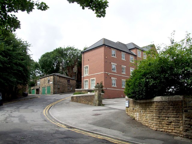
Image: © Dave Hitchborne Taken: 6 Aug 2008
Just up from this corner can be seen Ashgate Close, where the lock-up garages are. Further up the hill is Fulwood Road, but the junction is blocked off and there is no access to it. The newish buildings are a part of the Methodist Church complex.
Images are licensed for reuse under creativecommons.org/licenses/by-sa/2.0
Image Location
Latitude
53.37612
Longitude
-1.502722