Field, Terhill
Introduction
The photograph on this page of Field, Terhill by Derek Harper as part of the Geograph project.
The Geograph project started in 2005 with the aim of publishing, organising and preserving representative images for every square kilometre of Great Britain, Ireland and the Isle of Man.

There are currently over 7.5m images from over 14,400 individuals and you can help contribute to the project by visiting https://www.geograph.org.uk
Field, Terhill
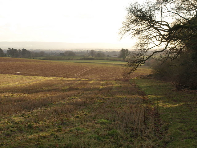
Image: © Derek Harper Taken: 24 Jan 2009
Looking in the other direction from the same stile on which Image was taken, with the lower slopes of the Quantocks levelling out into the Vale of Taunton Deane. Very hazy in the distance are the Blackdown Hills on its far side.
Images are licensed for reuse under creativecommons.org/licenses/by-sa/2.0
Image Location
Latitude
51.085303
Longitude
-3.1811