Ruined Cottages in West Arbuckle
Introduction
The photograph on this page of Ruined Cottages in West Arbuckle by Sarah McGuire as part of the Geograph project.
The Geograph project started in 2005 with the aim of publishing, organising and preserving representative images for every square kilometre of Great Britain, Ireland and the Isle of Man.

There are currently over 7.5m images from over 14,400 individuals and you can help contribute to the project by visiting https://www.geograph.org.uk
Ruined Cottages in West Arbuckle
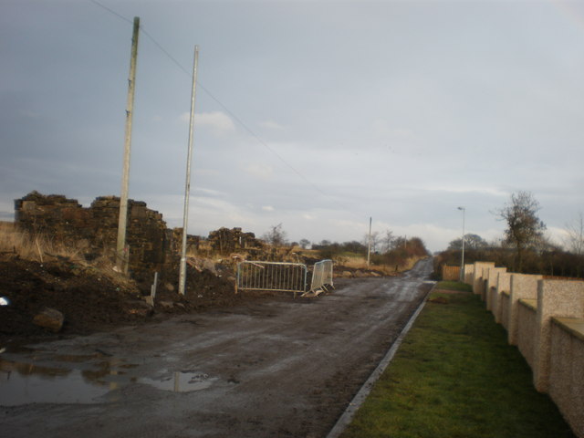
Image: © Sarah McGuire Taken: 30 Jan 2009
The road to the Memorial to Stanrigg pit disaster is to the left of ruin. These are to be incorporated into new development.
Images are licensed for reuse under creativecommons.org/licenses/by-sa/2.0
Image Location
Latitude
55.891912
Longitude
-3.921487