
Swindon Lane, Kirkby Overblow
Introduction
The photograph on this page of Swindon Lane, Kirkby Overblow by Gordon Hatton as part of the Geograph project.
The Geograph project started in 2005 with the aim of publishing, organising and preserving representative images for every square kilometre of Great Britain, Ireland and the Isle of Man.

There are currently over 7.5m images from over 14,400 individuals and you can help contribute to the project by visiting https://www.geograph.org.uk
Swindon Lane, Kirkby Overblow
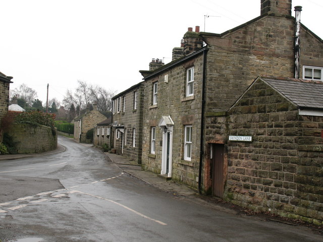
Image: © Gordon Hatton Taken: 30 Jan 2009
Houses on Swindon Lane in the village centre. In medieval times Kirkby Overblow was a centre for iron ore smelting [the 'Overblow' may have connections with smelting], with local low grade ores being brought here from locations mainly west and north of the village. This industry appears to have ended by the beginning of the 15th century, and Kirkby became just another agricultural settlement - until the age of the commuter.
Images are licensed for reuse under creativecommons.org/licenses/by-sa/2.0
Image Location

Latitude
53.937539
Longitude
-1.505519