Footpath through the development site
Introduction
The photograph on this page of Footpath through the development site by David Anstiss as part of the Geograph project.
The Geograph project started in 2005 with the aim of publishing, organising and preserving representative images for every square kilometre of Great Britain, Ireland and the Isle of Man.

There are currently over 7.5m images from over 14,400 individuals and you can help contribute to the project by visiting https://www.geograph.org.uk
Footpath through the development site
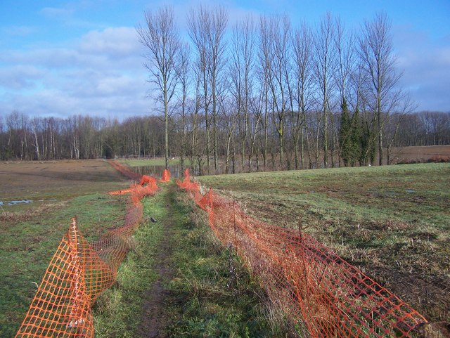
Image: © David Anstiss Taken: 26 Jan 2009
The path from Teston Road to The Heath, is well marked by the orange 'ski-fencing'. This protects the walkers from the large machinery that has been grading the land for future housing use. This will be part of King's Hill, 'an integrated business and residential community' but also new commuter town to London. Small patch of trees has been saved to give instant 'landscaping' to future housing projects.
Images are licensed for reuse under creativecommons.org/licenses/by-sa/2.0
Image Location
Latitude
51.270675
Longitude
0.423138