Site of Dirty Dick's
Introduction
The photograph on this page of Site of Dirty Dick's by Bob Jenkins as part of the Geograph project.
The Geograph project started in 2005 with the aim of publishing, organising and preserving representative images for every square kilometre of Great Britain, Ireland and the Isle of Man.

There are currently over 7.5m images from over 14,400 individuals and you can help contribute to the project by visiting https://www.geograph.org.uk
Site of Dirty Dick's
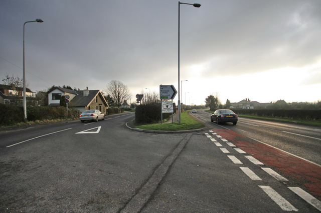
Image: © Bob Jenkins Taken: 29 Jan 2009
"Dirty Dick's" was a well known transport cafe at the fork off the Garstang bypass. A "posher" transport cafe was situated on the other side of the A6 about 200m south - The Mayfield.
Images are licensed for reuse under creativecommons.org/licenses/by-sa/2.0
Image Location
Latitude
53.913026
Longitude
-2.77789