Mill House.
Introduction
The photograph on this page of Mill House. by Robin Hall as part of the Geograph project.
The Geograph project started in 2005 with the aim of publishing, organising and preserving representative images for every square kilometre of Great Britain, Ireland and the Isle of Man.

There are currently over 7.5m images from over 14,400 individuals and you can help contribute to the project by visiting https://www.geograph.org.uk
Mill House.
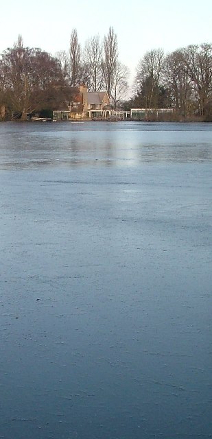
Image: © Robin Hall Taken: 29 Jan 2006
This photo taken from pretty much the same spot as Paul Dixon's of the mill pond in Image However, this is the house at the other end of the pond which today was frozen.
Images are licensed for reuse under creativecommons.org/licenses/by-sa/2.0
Image Location


Leaflet Map data © OpenStreetMap
Latitude
52.007958
Longitude
-0.212307