The lane to Castle Hill Farm, near Marston Meysey
Introduction
The photograph on this page of The lane to Castle Hill Farm, near Marston Meysey by Brian Robert Marshall as part of the Geograph project.
The Geograph project started in 2005 with the aim of publishing, organising and preserving representative images for every square kilometre of Great Britain, Ireland and the Isle of Man.

There are currently over 7.5m images from over 14,400 individuals and you can help contribute to the project by visiting https://www.geograph.org.uk
The lane to Castle Hill Farm, near Marston Meysey
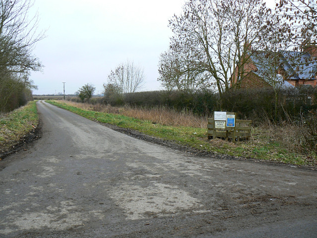
Image: © Brian Robert Marshall Taken: 27 Jan 2009
The signage is still lying its little head off two years on from Jonathan's photograph of it http://www.geograph.org.uk/photo/350349 At least the rubbish has gone.
Images are licensed for reuse under creativecommons.org/licenses/by-sa/2.0
Image Location
Latitude
51.672371
Longitude
-1.831484