Holy Trinity Church, Coxheath
Introduction
The photograph on this page of Holy Trinity Church, Coxheath by David Anstiss as part of the Geograph project.
The Geograph project started in 2005 with the aim of publishing, organising and preserving representative images for every square kilometre of Great Britain, Ireland and the Isle of Man.

There are currently over 7.5m images from over 14,400 individuals and you can help contribute to the project by visiting https://www.geograph.org.uk
Holy Trinity Church, Coxheath
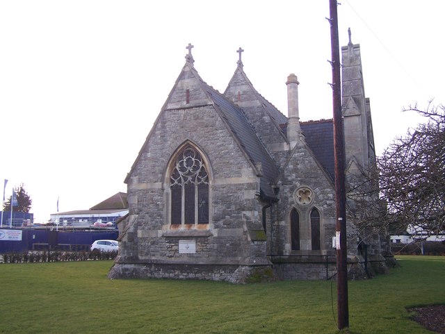
Image: © David Anstiss Taken: 21 Jan 2009
On a green on Heath Road. The land is on part of the 'Avante' Housing Estate, as seen in background, currently being built by Crest Nicholas. This Church is all that remains of the former Linton Hospital previously the Coxheath Union or Workhouse. A road nearby is named as 'Workhouse Lane'. When the Health Authority disposed of the hospital land upon the closure of the hospital. The church was made available for Anglican and Roman Catholic worship. In the diocese of Rochester. See http://en.wikipedia.org/wiki/Coxheath for more details on Coxheath.
Images are licensed for reuse under creativecommons.org/licenses/by-sa/2.0
Image Location
Latitude
51.231553
Longitude
0.495858