Stroud view
Introduction
The photograph on this page of Stroud view by Peter Kwan as part of the Geograph project.
The Geograph project started in 2005 with the aim of publishing, organising and preserving representative images for every square kilometre of Great Britain, Ireland and the Isle of Man.

There are currently over 7.5m images from over 14,400 individuals and you can help contribute to the project by visiting https://www.geograph.org.uk
Stroud view
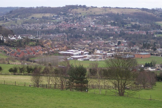
Image: © Peter Kwan Taken: 13 Mar 2005
General view of Stroud. The clump of buildings in the centre of the picture belong to Archway School. The pair of white lines looking like a giant rugby goal are chimney stacks belonging to the Millikan factory, a wool cloth mill. The hill in the background is Rodborough Hill.
Images are licensed for reuse under creativecommons.org/licenses/by-sa/2.0
Image Location


Leaflet Map data © OpenStreetMap
Latitude
51.749755
Longitude
-2.237514