Croft Bridge
Introduction
The photograph on this page of Croft Bridge by Alan Murray-Rust as part of the Geograph project.
The Geograph project started in 2005 with the aim of publishing, organising and preserving representative images for every square kilometre of Great Britain, Ireland and the Isle of Man.

There are currently over 7.5m images from over 14,400 individuals and you can help contribute to the project by visiting https://www.geograph.org.uk
Croft Bridge
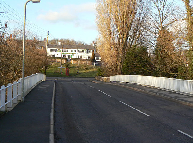
Image: © Alan Murray-Rust Taken: 23 Jan 2009
This crosses the River Soar and has been widened in modern times, presumably to cope with quarry traffic, although this no longer uses this route.
Images are licensed for reuse under creativecommons.org/licenses/by-sa/2.0
Image Location
Latitude
52.558544
Longitude
-1.247387