Former factory, Foregate Street
Introduction
The photograph on this page of Former factory, Foregate Street by Simon Huguet as part of the Geograph project.
The Geograph project started in 2005 with the aim of publishing, organising and preserving representative images for every square kilometre of Great Britain, Ireland and the Isle of Man.

There are currently over 7.5m images from over 14,400 individuals and you can help contribute to the project by visiting https://www.geograph.org.uk
Former factory, Foregate Street
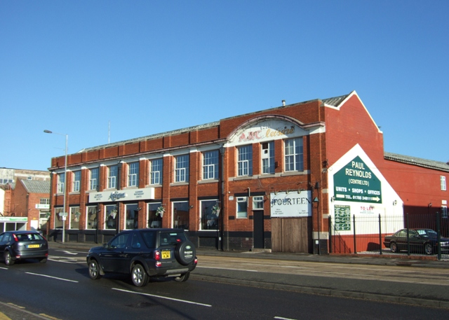
Image: © Simon Huguet Taken: 18 Jan 2009
Once one of Stafford's shoe factories this building, dating from 1913, has been a bar and nightclub and once briefly had a lap-dancing bar in the basement. It is now an Indian restaurant.
Images are licensed for reuse under creativecommons.org/licenses/by-sa/2.0
Image Location
Latitude
52.813211
Longitude
-2.121913