View from Stafford Castle
Introduction
The photograph on this page of View from Stafford Castle by Simon Huguet as part of the Geograph project.
The Geograph project started in 2005 with the aim of publishing, organising and preserving representative images for every square kilometre of Great Britain, Ireland and the Isle of Man.

There are currently over 7.5m images from over 14,400 individuals and you can help contribute to the project by visiting https://www.geograph.org.uk
View from Stafford Castle
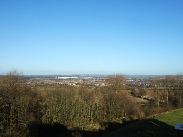
Image: © Simon Huguet Taken: 20 Jan 2009
Looking from the motte, north across the inner bailey and the trees that surround it towards the north side of Stafford. The lakes on Doxey marsh nature reserve can just made out below the white mass of the development at Primepoint 14 near to junction 14 of the M6.
Images are licensed for reuse under creativecommons.org/licenses/by-sa/2.0
Image Location
Latitude
52.800328
Longitude
-2.146499