Houses on Gorse Lane, Grantham
Introduction
The photograph on this page of Houses on Gorse Lane, Grantham by Kate Jewell as part of the Geograph project.
The Geograph project started in 2005 with the aim of publishing, organising and preserving representative images for every square kilometre of Great Britain, Ireland and the Isle of Man.

There are currently over 7.5m images from over 14,400 individuals and you can help contribute to the project by visiting https://www.geograph.org.uk
Houses on Gorse Lane, Grantham
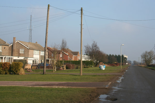
Image: © Kate Jewell Taken: 28 Jan 2006
Gorse Lane is a narrow country road between the A607 at Croxton Kerrial Image and Spittlegate Level, the old Great North Road, just to the SE of Grantham. This row of houses, built in the 60s/70s, is quite isolated.
Images are licensed for reuse under creativecommons.org/licenses/by-sa/2.0
Image Location
Latitude
52.89044
Longitude
-0.655734