The Ballynahich River near Crossgar
Introduction
The photograph on this page of The Ballynahich River near Crossgar by Albert Bridge as part of the Geograph project.
The Geograph project started in 2005 with the aim of publishing, organising and preserving representative images for every square kilometre of Great Britain, Ireland and the Isle of Man.

There are currently over 7.5m images from over 14,400 individuals and you can help contribute to the project by visiting https://www.geograph.org.uk
The Ballynahich River near Crossgar
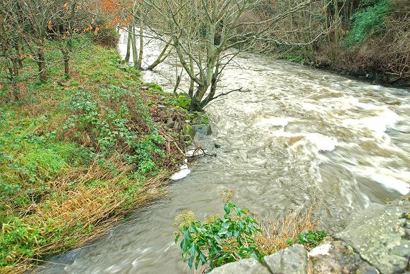
Image: © Albert Bridge Taken: 26 Jan 2009
After several days of rain the Ballynahinch River (right) and the stream on the left were in fine form. The view is downstream from the bridge on the Drumaghlis Road Image
Images are licensed for reuse under creativecommons.org/licenses/by-sa/2.0
Image Location
Latitude
54.402206
Longitude
-5.810237