Flooding near Wrackleford
Introduction
The photograph on this page of Flooding near Wrackleford by Nigel Mykura as part of the Geograph project.
The Geograph project started in 2005 with the aim of publishing, organising and preserving representative images for every square kilometre of Great Britain, Ireland and the Isle of Man.

There are currently over 7.5m images from over 14,400 individuals and you can help contribute to the project by visiting https://www.geograph.org.uk
Flooding near Wrackleford
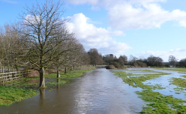
Image: © Nigel Mykura Taken: 23 Jan 2009
High water levels after heavy rain have caused this minor branch of the River Frome to flood across the water meadows between Wrackleford and Ash Hill.
Images are licensed for reuse under creativecommons.org/licenses/by-sa/2.0
Image Location
Latitude
50.737868
Longitude
-2.480773