Ratton School
Introduction
The photograph on this page of Ratton School by Simon Carey as part of the Geograph project.
The Geograph project started in 2005 with the aim of publishing, organising and preserving representative images for every square kilometre of Great Britain, Ireland and the Isle of Man.

There are currently over 7.5m images from over 14,400 individuals and you can help contribute to the project by visiting https://www.geograph.org.uk
Ratton School
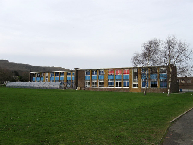
Image: © Simon Carey Taken: 24 Jan 2009
Built in the 1950s to serve the rapidly expanding suburbs of Willingdon and Hampden Park.
Images are licensed for reuse under creativecommons.org/licenses/by-sa/2.0
Image Location
Latitude
50.790081
Longitude
0.259992