Yeh!
Introduction
The photograph on this page of Yeh! by Dave Spicer as part of the Geograph project.
The Geograph project started in 2005 with the aim of publishing, organising and preserving representative images for every square kilometre of Great Britain, Ireland and the Isle of Man.

There are currently over 7.5m images from over 14,400 individuals and you can help contribute to the project by visiting https://www.geograph.org.uk
Yeh!
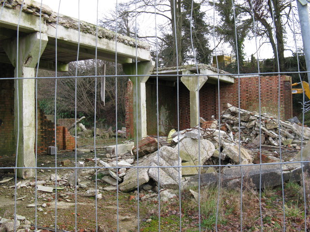
Image: © Dave Spicer Taken: 24 Jan 2009
A county council planning notice on this fence announced that the old farm buildings were to be converted into private dwellings after being accidentally demolished. That was some accident
Images are licensed for reuse under creativecommons.org/licenses/by-sa/2.0
Image Location
Latitude
51.034083
Longitude
-0.206683