Shooters Hill Road at dusk
Introduction
The photograph on this page of Shooters Hill Road at dusk by Stephen Craven as part of the Geograph project.
The Geograph project started in 2005 with the aim of publishing, organising and preserving representative images for every square kilometre of Great Britain, Ireland and the Isle of Man.

There are currently over 7.5m images from over 14,400 individuals and you can help contribute to the project by visiting https://www.geograph.org.uk
Shooters Hill Road at dusk
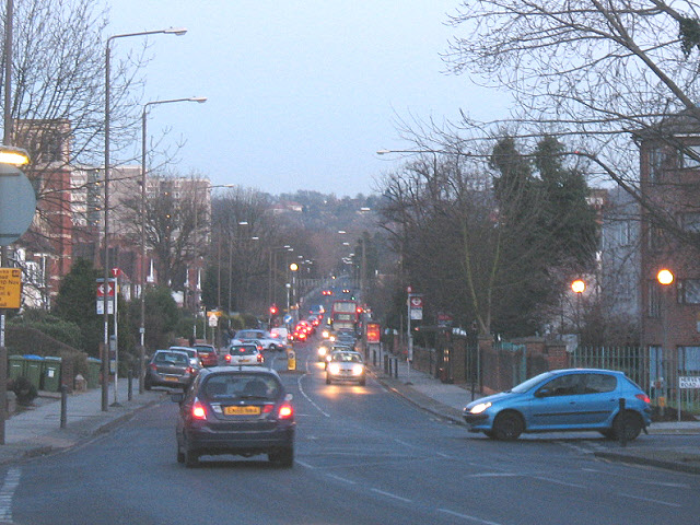
Image: © Stephen Craven Taken: 24 Jan 2009
Shooters Hill Road follows the alignment of a Roman road, which explains why it runs straight for several miles. This view looking south-east is taken from a junction where the present A207 bends to the west, but the old alignment continues in the opposite direction as Old Dover Road Image
Images are licensed for reuse under creativecommons.org/licenses/by-sa/2.0
Image Location
Latitude
51.475367
Longitude
0.030029