Paragon Fields
Introduction
The photograph on this page of Paragon Fields by Simon Carey as part of the Geograph project.
The Geograph project started in 2005 with the aim of publishing, organising and preserving representative images for every square kilometre of Great Britain, Ireland and the Isle of Man.

There are currently over 7.5m images from over 14,400 individuals and you can help contribute to the project by visiting https://www.geograph.org.uk
Paragon Fields
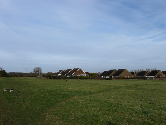
Image: © Simon Carey Taken: 24 Jan 2009
Open space to the rear of houses in Wannock Gardens (in view) and The Paragon, Wannock Lane. The footpath from Wannock to Willingdon also runs through it.
Images are licensed for reuse under creativecommons.org/licenses/by-sa/2.0
Image Location
Latitude
50.807441
Longitude
0.236558