Skipton & Knaresborough Road
Introduction
The photograph on this page of Skipton & Knaresborough Road by David Rogers as part of the Geograph project.
The Geograph project started in 2005 with the aim of publishing, organising and preserving representative images for every square kilometre of Great Britain, Ireland and the Isle of Man.

There are currently over 7.5m images from over 14,400 individuals and you can help contribute to the project by visiting https://www.geograph.org.uk
Skipton & Knaresborough Road
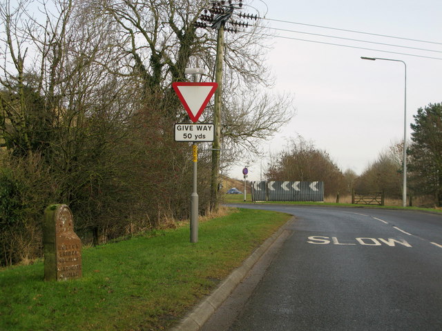
Image: © David Rogers Taken: 14 Jan 2009
...according to the milestone, but now known as the A6131; close to the junction with the A59 Skipton bypass.
Images are licensed for reuse under creativecommons.org/licenses/by-sa/2.0
Image Location
Latitude
53.968215
Longitude
-1.997373