Hazelbury Bryan: war memorial
Introduction
The photograph on this page of Hazelbury Bryan: war memorial by Chris Downer as part of the Geograph project.
The Geograph project started in 2005 with the aim of publishing, organising and preserving representative images for every square kilometre of Great Britain, Ireland and the Isle of Man.

There are currently over 7.5m images from over 14,400 individuals and you can help contribute to the project by visiting https://www.geograph.org.uk
Hazelbury Bryan: war memorial
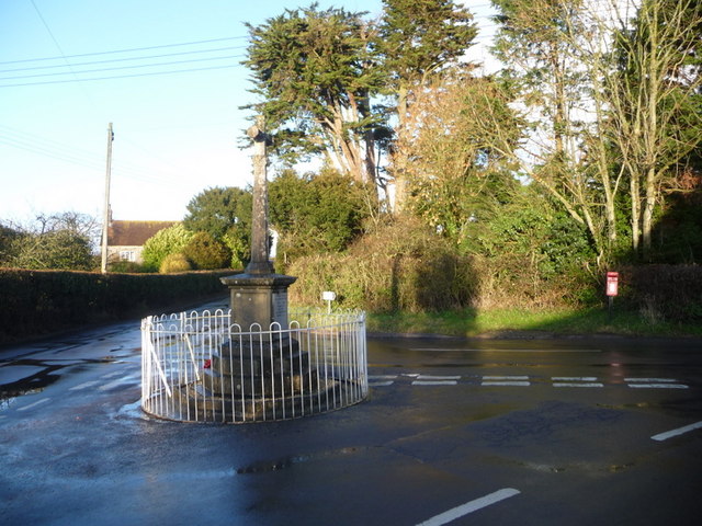
Image: © Chris Downer Taken: 24 Jan 2009
This war memorial is at the junction of Water Knap and Pidney Hill. To the right is Image
Images are licensed for reuse under creativecommons.org/licenses/by-sa/2.0
Image Location
Latitude
50.879393
Longitude
-2.361552