Covered Reservoir from Crane Down
Introduction
The photograph on this page of Covered Reservoir from Crane Down by Simon Carey as part of the Geograph project.
The Geograph project started in 2005 with the aim of publishing, organising and preserving representative images for every square kilometre of Great Britain, Ireland and the Isle of Man.

There are currently over 7.5m images from over 14,400 individuals and you can help contribute to the project by visiting https://www.geograph.org.uk
Covered Reservoir from Crane Down
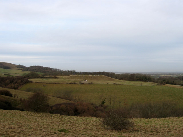
Image: © Simon Carey Taken: 24 Jan 2009
View of Image from the western side of Crane Down which is currently open access under Defra's farm conservation scheme.
Images are licensed for reuse under creativecommons.org/licenses/by-sa/2.0
Image Location
Latitude
50.810571
Longitude
0.218679