Roman Rd, Upper Harbledown
Introduction
The photograph on this page of Roman Rd, Upper Harbledown by N Chadwick as part of the Geograph project.
The Geograph project started in 2005 with the aim of publishing, organising and preserving representative images for every square kilometre of Great Britain, Ireland and the Isle of Man.

There are currently over 7.5m images from over 14,400 individuals and you can help contribute to the project by visiting https://www.geograph.org.uk
Roman Rd, Upper Harbledown
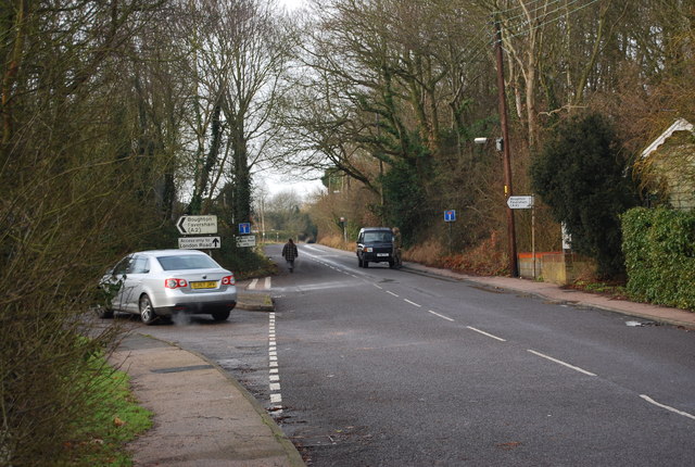
Image: © N Chadwick Taken: 24 Jan 2009
This is the old A2.The modern A2 is a dual carriageway south of this road.The road follows the route of the old Roman road from London to Canterbury.
Images are licensed for reuse under creativecommons.org/licenses/by-sa/2.0
Image Location
Latitude
51.285736
Longitude
1.027609