The Village of Sticker
Introduction
The photograph on this page of The Village of Sticker by Tony Atkin as part of the Geograph project.
The Geograph project started in 2005 with the aim of publishing, organising and preserving representative images for every square kilometre of Great Britain, Ireland and the Isle of Man.

There are currently over 7.5m images from over 14,400 individuals and you can help contribute to the project by visiting https://www.geograph.org.uk
The Village of Sticker
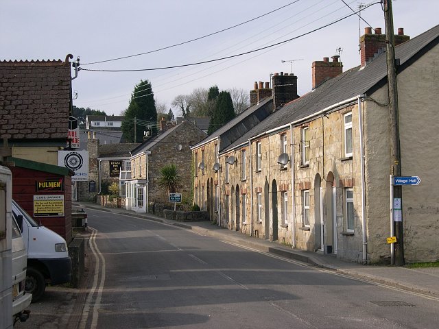
Image: © Tony Atkin Taken: 28 Jan 2006
Sticker village grew up with the mining industry in the 19th century. When that industry declined in the latter half of the century, people were able to find work in the local china clay industry. Although the clay industry is still here, it became increasingly mechanised through the latter half of the 20th century and ceased to be a major employer.
Images are licensed for reuse under creativecommons.org/licenses/by-sa/2.0
Image Location
Latitude
50.31701
Longitude
-4.840175