Sunnyside, Cronton
Introduction
The photograph on this page of Sunnyside, Cronton by Sue Adair as part of the Geograph project.
The Geograph project started in 2005 with the aim of publishing, organising and preserving representative images for every square kilometre of Great Britain, Ireland and the Isle of Man.

There are currently over 7.5m images from over 14,400 individuals and you can help contribute to the project by visiting https://www.geograph.org.uk
Sunnyside, Cronton
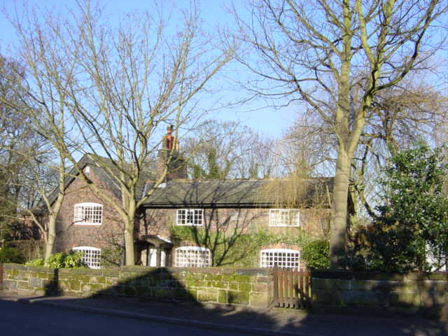
Image: © Sue Adair Taken: 28 Jan 2006
Originally an 18th Century farmhouse in Hall Lane, Cronton, adjacent to Cronton Hall.
Images are licensed for reuse under creativecommons.org/licenses/by-sa/2.0
Image Location
Latitude
53.390899
Longitude
-2.76232