Plumpton Walk
Introduction
The photograph on this page of Plumpton Walk by David Anstiss as part of the Geograph project.
The Geograph project started in 2005 with the aim of publishing, organising and preserving representative images for every square kilometre of Great Britain, Ireland and the Isle of Man.

There are currently over 7.5m images from over 14,400 individuals and you can help contribute to the project by visiting https://www.geograph.org.uk
Plumpton Walk
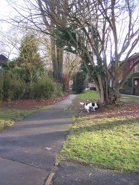
Image: © David Anstiss Taken: 20 Jan 2009
This housing footpath on Woolley Road, also becomes public footpath after crossing Titchfield Road and then carries on to Church Road and East Wood.
Images are licensed for reuse under creativecommons.org/licenses/by-sa/2.0
Image Location
Latitude
51.246343
Longitude
0.56057