Wiles Shaw, looking south Uphill
Introduction
The photograph on this page of Wiles Shaw, looking south Uphill by David Anstiss as part of the Geograph project.
The Geograph project started in 2005 with the aim of publishing, organising and preserving representative images for every square kilometre of Great Britain, Ireland and the Isle of Man.

There are currently over 7.5m images from over 14,400 individuals and you can help contribute to the project by visiting https://www.geograph.org.uk
Wiles Shaw, looking south Uphill
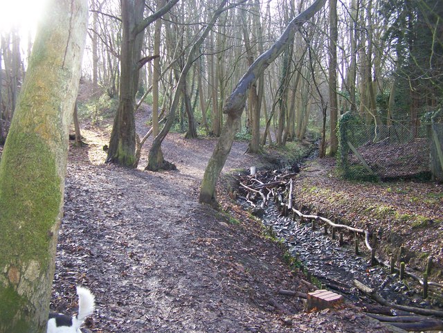
Image: © David Anstiss Taken: 20 Jan 2009
Small Valley Woodland. Culvert on right carries storm water drains downhill away from the houses, either side of the valley. Woodland path beside culvert goes south to Woolley Road.
Images are licensed for reuse under creativecommons.org/licenses/by-sa/2.0
Image Location
Latitude
51.249206
Longitude
0.557146