Housing on Devonshire Road
Introduction
The photograph on this page of Housing on Devonshire Road by Martin Addison as part of the Geograph project.
The Geograph project started in 2005 with the aim of publishing, organising and preserving representative images for every square kilometre of Great Britain, Ireland and the Isle of Man.

There are currently over 7.5m images from over 14,400 individuals and you can help contribute to the project by visiting https://www.geograph.org.uk
Housing on Devonshire Road
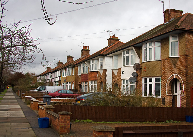
Image: © Martin Addison Taken: 19 Jan 2009
Devonshire road was part of the expansion of the area in the 1930's. I am unsure whether these semi-detached houses with their circular porch design belong to that period or are post war.
Images are licensed for reuse under creativecommons.org/licenses/by-sa/2.0
Image Location
Latitude
51.606981
Longitude
-0.216692