Devonshire Road from Sanders Lane
Introduction
The photograph on this page of Devonshire Road from Sanders Lane by Martin Addison as part of the Geograph project.
The Geograph project started in 2005 with the aim of publishing, organising and preserving representative images for every square kilometre of Great Britain, Ireland and the Isle of Man.

There are currently over 7.5m images from over 14,400 individuals and you can help contribute to the project by visiting https://www.geograph.org.uk
Devonshire Road from Sanders Lane
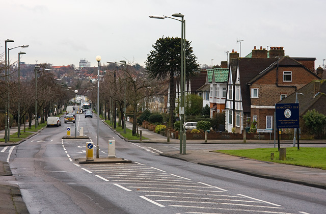
Image: © Martin Addison Taken: 19 Jan 2009
The junction in the foreground is with Ashley Walk and, on the left, Tavistock Avenue. This is the point where Sanders Lane in the past used to diverge left and cross over the railway to connect with Bittacy Hill. On the horizon, on the opposite side of the Dollis Valley, the houses of Finchley and Central House can be seen.
Images are licensed for reuse under creativecommons.org/licenses/by-sa/2.0
Image Location
Latitude
51.606992
Longitude
-0.217414