Foss bridge, Strensall
Introduction
The photograph on this page of Foss bridge, Strensall by Gordon Hatton as part of the Geograph project.
The Geograph project started in 2005 with the aim of publishing, organising and preserving representative images for every square kilometre of Great Britain, Ireland and the Isle of Man.

There are currently over 7.5m images from over 14,400 individuals and you can help contribute to the project by visiting https://www.geograph.org.uk
Foss bridge, Strensall
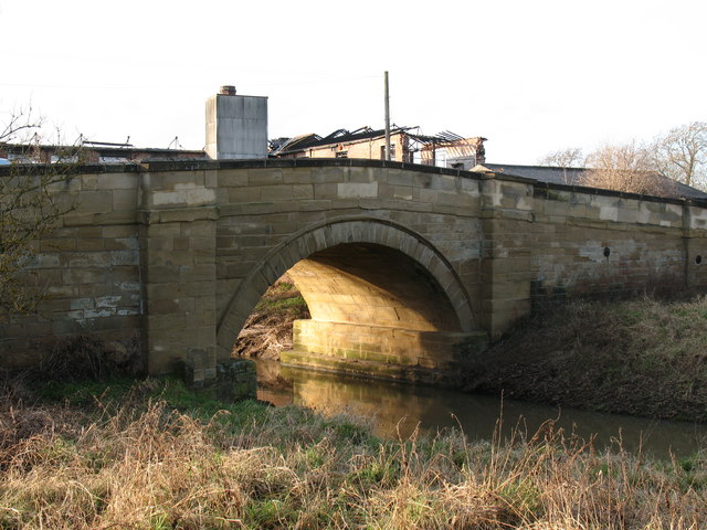
Image: © Gordon Hatton Taken: 21 Jan 2009
Sandstone bridge carrying the Sheriff Hutton road over the River Foss and into Strensall, but is it 18th or 19th century? There are no clues on the stonework.
Images are licensed for reuse under creativecommons.org/licenses/by-sa/2.0
Image Location
Latitude
54.040919
Longitude
-1.034876