Farmland between Blunsdon and Highworth
Introduction
The photograph on this page of Farmland between Blunsdon and Highworth by Brian Robert Marshall as part of the Geograph project.
The Geograph project started in 2005 with the aim of publishing, organising and preserving representative images for every square kilometre of Great Britain, Ireland and the Isle of Man.

There are currently over 7.5m images from over 14,400 individuals and you can help contribute to the project by visiting https://www.geograph.org.uk
Farmland between Blunsdon and Highworth
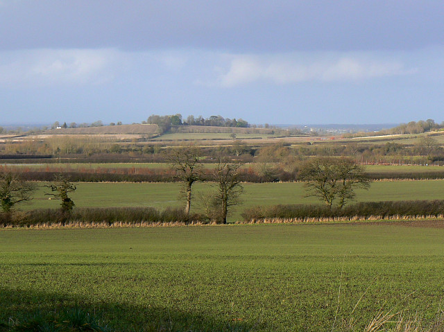
Image: © Brian Robert Marshall Taken: 22 Jan 2009
The young crops in the foreground are probably cereal but could be oilseed. The area of high ground in the distance is Lus Hill (or Lushill) http://www.geograph.org.uk/photo/302561 This is a view to the north towards Gloucestershire.
Images are licensed for reuse under creativecommons.org/licenses/by-sa/2.0
Image Location
Latitude
51.619196
Longitude
-1.758884