Footbridge over Ayle Burn
Introduction
The photograph on this page of Footbridge over Ayle Burn by Roger Morris as part of the Geograph project.
The Geograph project started in 2005 with the aim of publishing, organising and preserving representative images for every square kilometre of Great Britain, Ireland and the Isle of Man.

There are currently over 7.5m images from over 14,400 individuals and you can help contribute to the project by visiting https://www.geograph.org.uk
Footbridge over Ayle Burn
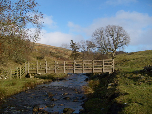
Image: © Roger Morris Taken: 21 Jan 2009
This is the higher of two footbridges swept away in a flash flood in August 2002,shortly before the opening of Isaac's Tea Trail and at the end of the foot mouth outbreak. The replacement bridge in the photograph was completed in 2005 and has been placed about 25 metres down stream of the original crossing point, where a buttress can still be seen.
Images are licensed for reuse under creativecommons.org/licenses/by-sa/2.0
Image Location
Latitude
54.838091
Longitude
-2.437476